
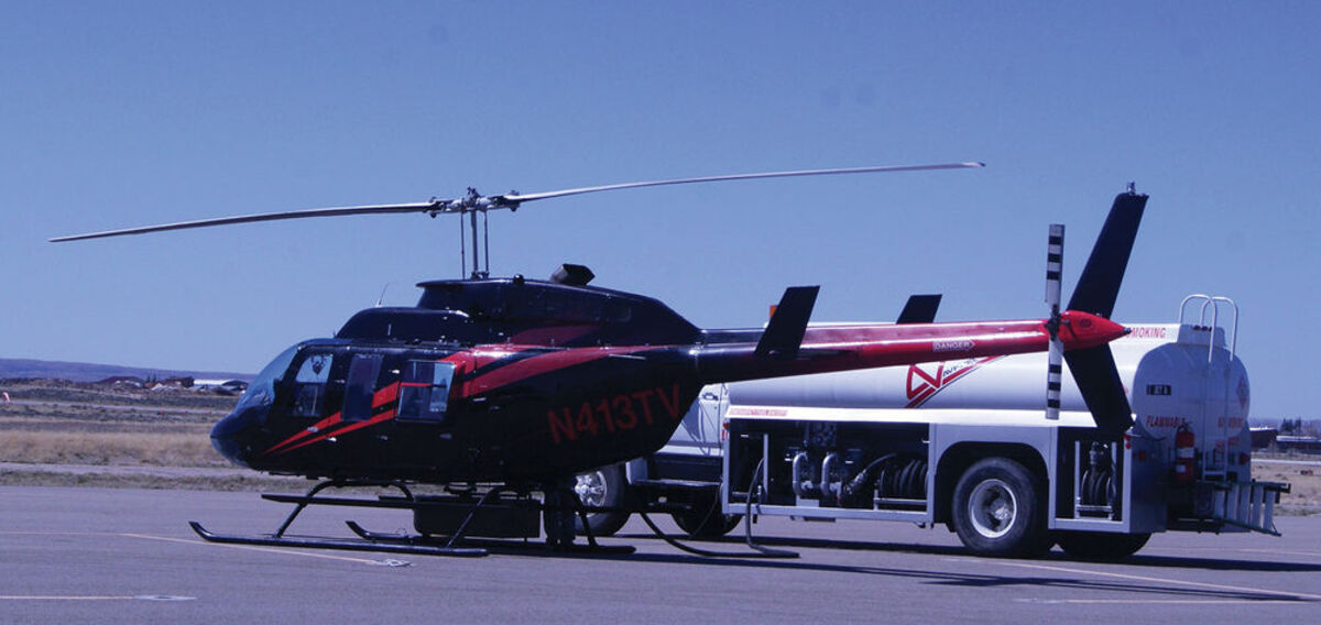
The helicopter conducting the LiDAR survey on Monday was fueling up for Cheyenne after the completed two-and-a-half hours survey.

LiDAR is an extremely efficient way to topographically survey a broad swath, said Craig Kopasz, a civil engineer with PMPC/Engineering Associates.
LiDAR, which stands for Light Detection and Ranging is a remote sensing method used to examine the surface of the earth, according the the National Oceanic and Atmospheric Administration (NOAA) website.
At the April 7 Saratoga Town Council meeting, there some was confusion about what the LiDAR is being used for by a member of the audience.
He thought the LiDAR was for use in Federal Emergency Management Agency (FEMA) use. Mayor Ed Glode explained...
Reader Comments(0)